NARBONNE Recent discoveries
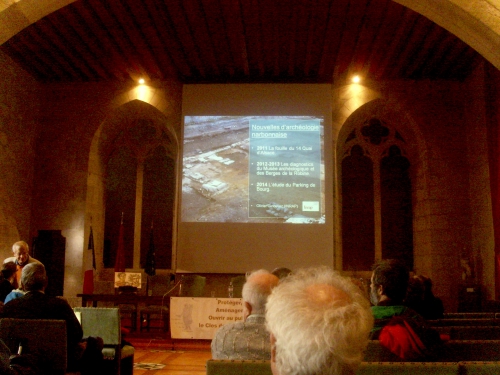
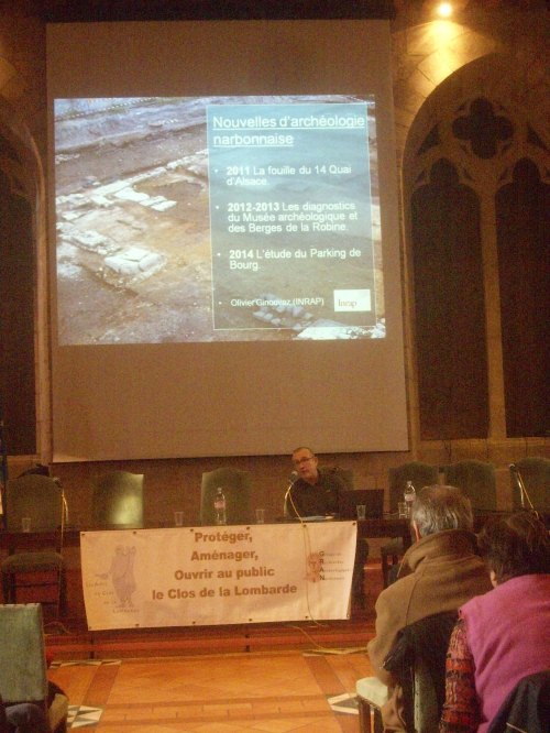
In the Salle des Synods (16th century) in the Archbishops Palace of Narbonne, I went to a "conference" on the January 2015. A young archeologist was there from INSEE to tell us about some excavations in Narbonne in 2011, 2013 and 2014.
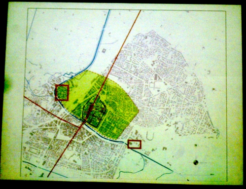
The darker green area of the map is Roman Narbonne in the second century AD. The blue line is today's Canal du Midi, which in Roman times was the River Axat. The red square on the left is an area by today's Quai d'Alsace, while the red square to the right, called St.Loup, is an area by the canal just past today's theatre on the Narbonne Plage road. The red lines represent the Roman roads - the Via Domitia continuing northwards, the Via Aquitana branching off to the left.
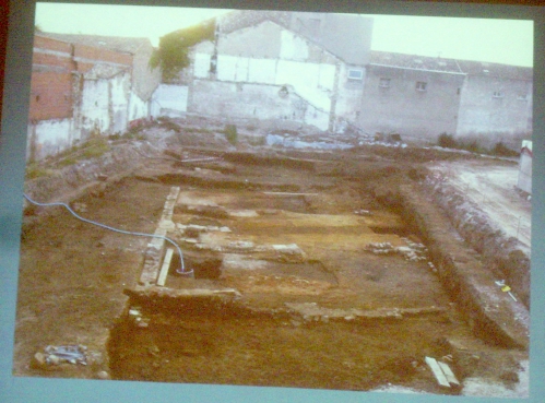
At Quai d'Alsace an area had been cleared on which to build some new houses and so excavations were done that revealed one huge building, with a row of smaller buildings down one side of it. This huge building had had an elaborate gate as an entrance, then the road continued through the building. It was a giant warehouse. They didn't know the function of the smaller houses, they could have been offices or even shops; I think they could have been workers' lodgings, because the Quai d'Alsace had been used as a port in Roman times. At the time the river (now called the Aude) was used for transporting goods in both directions, from as far away as Couiza to the west, or the short distance from La Nautique on the étang to the south.
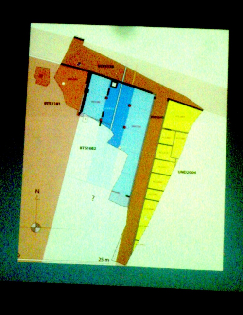
On the diagram brown represents roads, blue the warehouse with darker blue for the passage along its centre, and yellow for the little buildings.
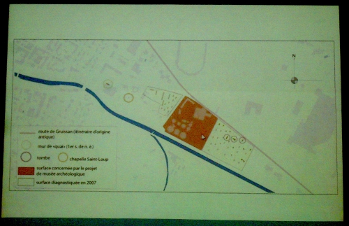
The next site discussed was St. Loup, which is where the new Musée de la Romanité will be housed, more-or-less next door to today's Theatre. This museum has been planned for a long time and Narbonne's three current museums, Lapidaire, Horreum and Archeological in the Cathedral complex, will be moved there. On the map, once again the blue represents the Canal du Midi, once the Atax river, the brown represents the site for the new museum, and the pink line in the modern road to Gruissan, beneath which is the Roman road, for the two went exactly the same way.
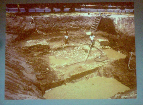
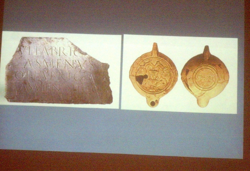
It was a small port, with two quaysides, one higher than the other, presumably to accommodate a river whose level rose and fell. There was a graveyard not far away, with oil-lamps and an inscription. One day they might trace this person's name.
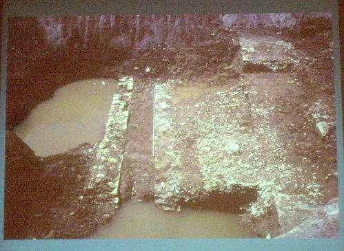
Lastly, there was a third site excavated, in the parking in Le Bourg, the part of Narbonne south of the canal. I knew this site because my friend Annie Jal the sculptress lives nearby and she told me about it and sent some photos. The archeologists were expecting to find medieval remains there and indeed there was a medieval chapel which could have been a personal one over a grave or family tomb. Not far from it and much deeper down, was a Roman sarcophage, or stone coffin.

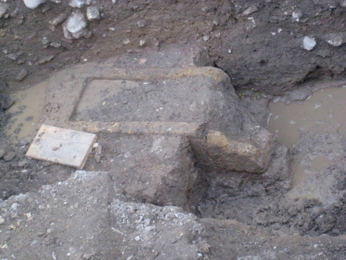
The archeologist could only conclude, he said, that there was a Roman graveyard there south of the river that they did not know about. Well I did, because when I researched St. Paul's church, it said that a graveyard stretched all the way to the river (as the canal was then) and St. Paul was buried there, and later they built the church of St. Paul Serge, that you can see today, over his grave. St. Paul Serge was a healer, there is still a hospital near his church, and between them a little chapel to pray for the ill and dying. Could there have been some sort of hostel, or temple, or later a chapel, in Roman times? And I had always thought that St. Paul's church was by the junction of the Via Aquitana with the Via Domitia - see the green map above. The archeologists was telling us that the Via Aquitana went through the middle of the graveyard. There is a plaque in Le Bourg on a wall, saying the spot was where the Via Aquitana had started, and I had thought they had put it there just to be pretty.
Then the afternoon got interesting! A man in the audience jumped to his feet and started explaining to the archeologist that his positioning of the Via Aquitana all wrong!
He is is an expert on the Via Aquitana, being an archeologist and one of the founder members of the Association Via Aquitana. He has proved definitely that the junction was by St. Paul's church, which I was very gratified to hear. Roman roads are his "field" and he has done many excavations in Tunisia, which was an important part of the Roman Empire.
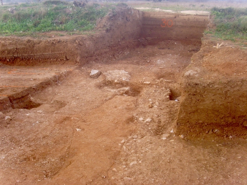
He was in the Narbonne region to see the excavations at Montredon where Nicole and I had actually stopped before the meeting, searching for the Via Aquitana on our way into Narbonne. We had been Looking for it a bit further west earlier in the summer. (click here) Now a large hospital complex was to be built and the archeologists had been digging trenches all over the site, all 44 hectares of it. It looked like a zone in the First World War!


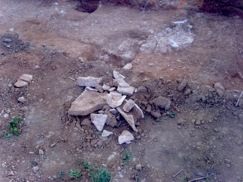
The archeologists had marked in red this spot, not far from the main N113, which could be the Via Aquitana road. In another trench, further from the road, was the foundations of a building, and various pieces of rooftiles and amphores were in a little pile beside it. The Romans usually built their villas and/or farms well back from a trunk road.
And so, what will happen next? Anything found will probably be covered up again. This seems a shame but there are so many things beneath our feet that we couldn't possibly keep and preserve them all. Unfortunately.
Inscrivez-vous au blog
Soyez prévenu par email des prochaines mises à jour
Rejoignez les 16 autres membres

