
CORBIERES - the mining route
At Tuchan I discovered a Roman road!
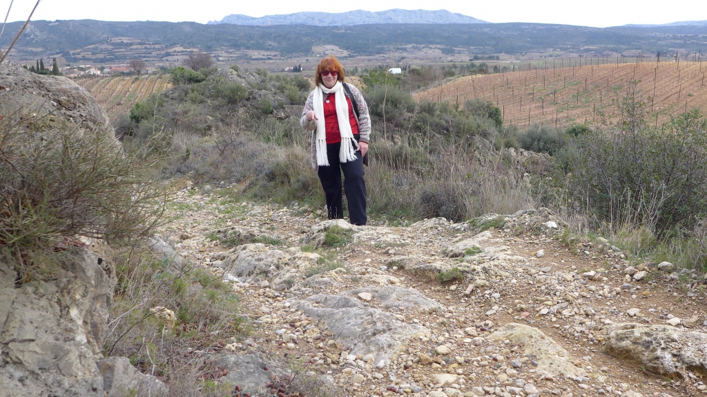
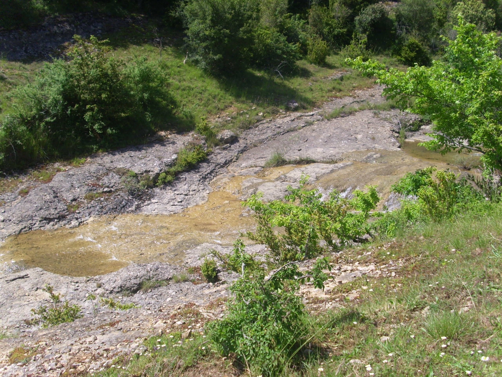
It was a route along which wagons brought mining products from the Corbières towards the coast and made ruts in the bedrock, as you can see.
The story began with my curiosity in the story that Mary Magdalene came to Rennes-le-Château, landing on the Mediterranean coast at a place called Mas Madeleine. As Mary Magdalene and Jesus lived in the time of the First Century Roman Empire, I decided all I had to do was discover the Roman road across the Corbières and I would have their route.
Later I found that this was a Roman road to take the products of mining from the mountains to the sea, while in the early Middle ages it was a seaman's route. For some reason beyond us to fathom, many men from Ariège worked on the boats on the Mediterranean and this was their road home after weeks or months at sea. There's a legend that one day they got lost, but a supernatural light shone from the mountain, today's Tauch, which guided them. The sailors later built a chapel there - Notre Dame de Faste. Later the roads were used as escape routes by the Cathars, and are actually marked in red as Cathar tracks on the IGN maps, so it did not take me long to work out the whole route.
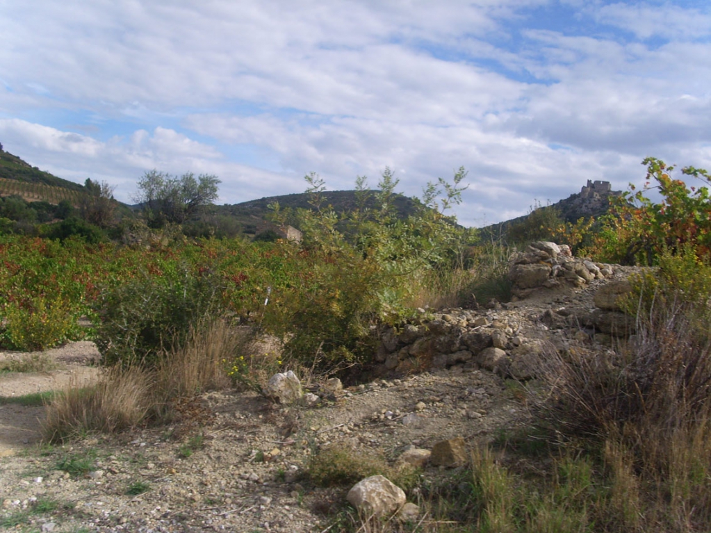
Mas de Madeleine is a hill at Fitou, and history records a hospital dedicated to Mary Magdalene there. It is beside the old Roman road from Fitou's port which then joins to today's D50.
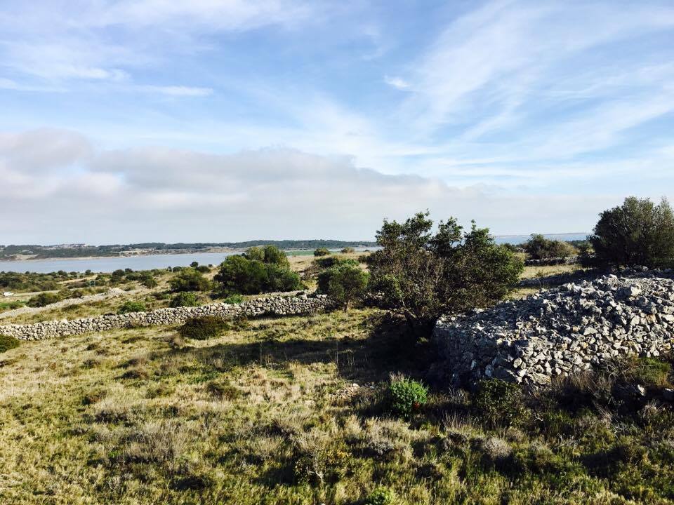
The view from the Mas de la Madeleine. I believe this is exactly where Mary's hospice once was.
At Cortal de Marty one joins the D9 to the village of Opoul-Perillos; the Roman road left where is now the Cathar track, and passed at the foot of the plateau called Salveterre, where Roman travellers could find water in the sweet water wells there. This was important at the time, for today's department of Pyrenees-Oriental was very dry, compared to the vast underwater reservoirs that exist in the Corbières. One continued on an unmarked road to Vall Oriole, founded in Celtic times, then through Mas Farines to meet up with the D9 at Les Barrencs; just metres from the part of the Roman road excavated by the community of Vingrau. After that, within the village itself of Vingrau is a vast water source.
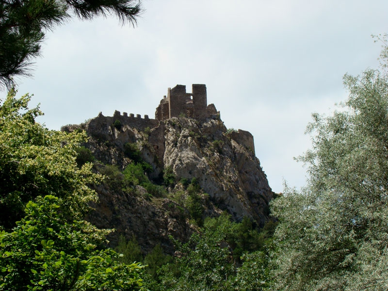
Continue to Tuchan, passing on the right the castle of Aquilar, which started its life as a Roman watchtower, or custodia, no doubt to check that the revenues were paid and that no smuggling was going on. Tuchan is a lovely town, it and the plain to the south of it was inhabited everywhere in Roman times. At the foot of Aquilar are the remains of a Roman farm.
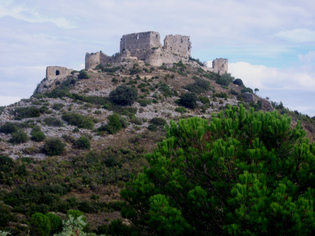
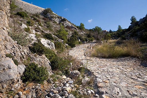
Do NOT take the road south to Paziols, this did not exist in Roman times, the Roman road (where I found the wheel tracks in the picture above) follows what is marked as the Sentier Cathare, to Padern. Padern was a big Roman mining centre, mines for bismuth, lead and tin. Today's village is crammed in the deep valley, with the castle on the hilltop that started life as a Roman watchtower.
The castle at Padern, and the remains on mines by the Verdouble river.
Continue from this dark valley to Cucugnan; after that the Roman road does not follow the D14, but runs parallel to it, a little to the north and is marked again as the Sentier Cathare - you can walk along this into Duilhac. At the foot of the mountain you will see the amazing spring that Roman travellers used as a halt; which probably gave the origin of the village. Then follow the D14 past Rouffiac (founded by the centurian Ruffius, the legend says, but there are other Rouffiacs in Aude) through Soutatgé, Cubières and past Camps-sur-Algy.
You are now approaching Bugarach village with the mountain to the south, and between the road here and the mountain remains of Roman settlements were found. As you approach Bugarach, look out for very minor roads in the right, these were the original Roman road before the D14 was built. You walk alongside the river, past a natural spring for both humans and animal, to enter Burgarach at the foot of the old castle. It's said it was built on a Celtic oppidum and the name Bugarach comes from Villa Bigarius, but when the Roman centurian arrived to build it.

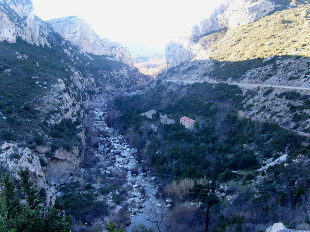
From Bugarach the Roman road again continued along the Cathar track (or rather, the Cathars followed the paths made by the Romans) on the east side of the river Blanque, not the west side as does the modern road. (Please note the the so-called Roman bridge over the Blanque was not Roman at all; it was a packhorse bridge used by the Cathars to travel from Bugarach to the so-called Château des Templiers, and into Bézu.) The road by the Blanque now leads into Rennes-les-Bains.
At Rennes-les-Bains was an incredible Roman complex of hot baths from the thermal springs, but the region was also exploited for the iron and jet mines, and for the salt of the River Sals. In spite of legends there were no gold mines ran by the Romans in the Corbières, for the simple reason that all the gold was in the rivers, as nuggets or grains - "gold-dust." The village of Auriac was named after this Roman gold and at Auriac is the source of the Orbieu, which carried its gold-bearing water all the way to Villedaigne near Narbonne, and then into the River Aude.
And Mary Magdalene and Jesus? Well, they stayed at the great Roman town of Rennes-les-Bains; for Rennes-le-Château did not exist at the time. Further details of the book I wrote about their journey on this old mining route can be seen by clicking here.
Inscrivez-vous au blog
Soyez prévenu par email des prochaines mises à jour
Rejoignez les 16 autres membres